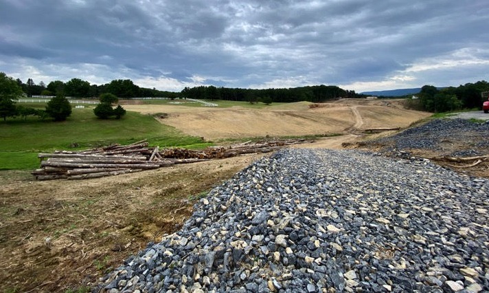
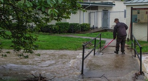
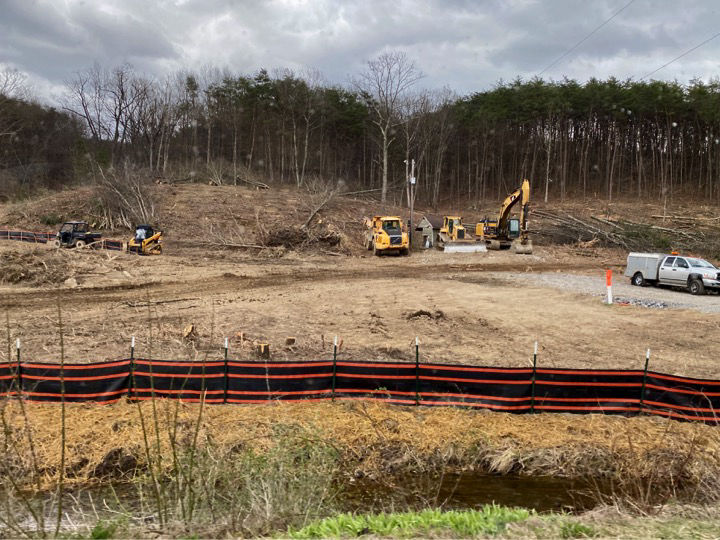
522 Bypass Monitoring


The Cacapon Institute, locaed in nearby Great Cacapon, estimates that 100 acres of forest will be permanently removed in order to construct the 522 Bypass.

522 Bypass

Warm Springs Run is a narrow watershed with a large amount of impervious area in the upper watershed. Because of the impermeable surfaces, steep slopes, and shallow soils the area is increasingly subject to flash flooding. The Berkeley Springs 522 Bypass adds 36 acres of impervious road and hard shoulder with stormwater runoff being collected and released more quickly.

Bypass Construction Will:
- clear more than 175 acres of vegetation and trees, plus additional borrow and staging areas as determined by the contractor;
- impact 14,650 feet of stream (2.8 miles) and 14.8 acres of floodplain;
- excavate 3,224,710 cubic yards of dirt (about 200,000 filled dump trucks); and,
- disturb an additional 1,691,898 cubic yards for fill (about 106,000 dump trucks).


Removing trees and ground cover from fragile hills has the potential to cause significant erosion. While efforts will be made to capture some of the water carrying sediment, a portion of the sediment will end up in the Run. Increased amounts of sediment will collect in the streambed, reducing the space for floodwater to collect, thus increasing the potential severity of flooding. WSWA stream monitors have already noticed more sediment on the rocks in the Run.

Forested areas and urban tree canopy are important flood control methods for the community. The removal of 175 acres of trees and conversion to impervious area will alter stream characteristics with uncertain consequences.


WSWA has created a program to help members of the community observe potential violations of the state-mandated highway construction protocol that might cause exacerbated runoff and sediment deposition in the Run.

WSWA volunteers have been trained to use a WV Rivers protocol to do weekly monitoring in areas of the Run potentially affected by the 522 Bypass construction. Specifically we look for increased amounts of sediment carried to the stream by stormwater runoff from construction areas. We share our data with the Trout Unlimited WV-VA Water Quality Monitoring Project.


The removal of trees and ground cover on steep and fragile hills may lead to increased frequency and severity of flooding downstream, such as here in the park in town.

The Department of Highways has contracted with an environmental team from WVU to conduct similar testing on a less regular basis. WSWA volunteers and WVU professionals are working in close contact with each other. 

    The Warm Springs Watershed Association is a 501(c)(3) non-profit organization with a mission and vision to protect our beautiful watershed at Warm Springs Run.
Bronze Transparency 2022